
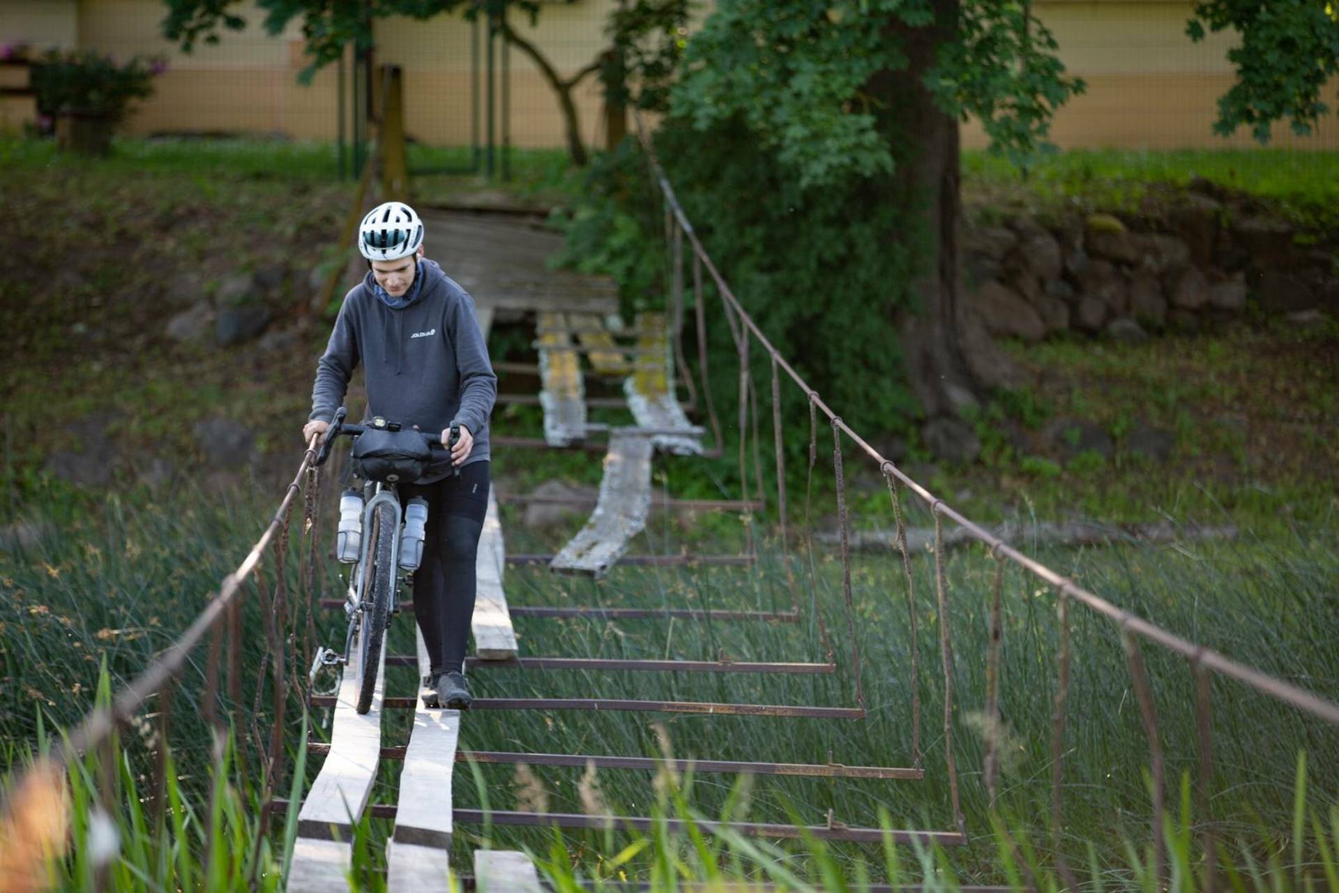
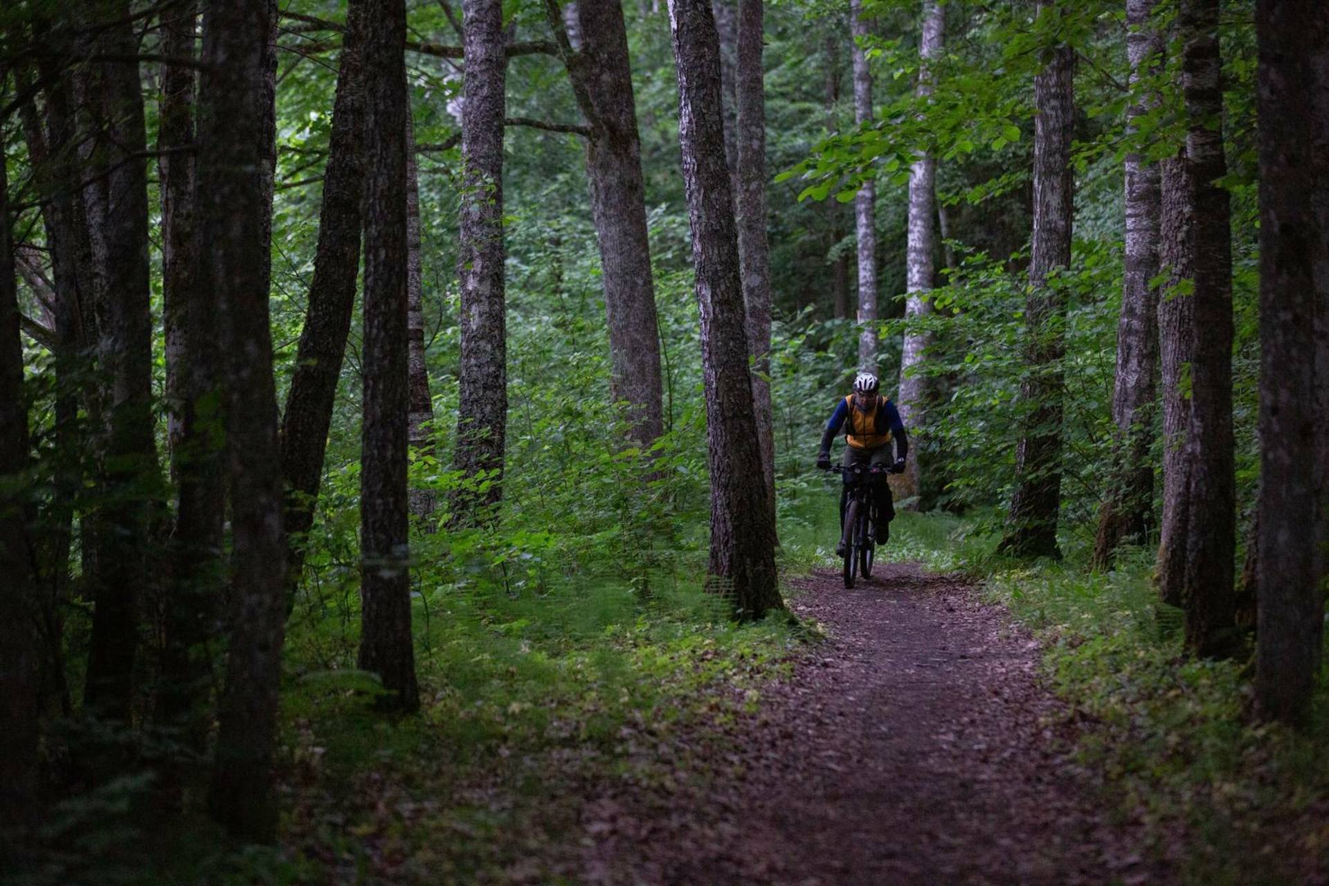
Newest version of the PUBLIC track is here.
This track is used in Fastest Known Hydrant project and is available for public free use too.
The Hydra events are using specific tracks which are checked more and have a lot of private places agreed with owners, on a specific event date.
Event tracks are sent a week before event, while public track is available to ride all year (except deep snow conditions).
If you liked this track or have some remarks, please leave your comments below or in bikepacking.com/routes/hydra

Reviews